Engadin Trail Map
All Highlight Trails on One Map
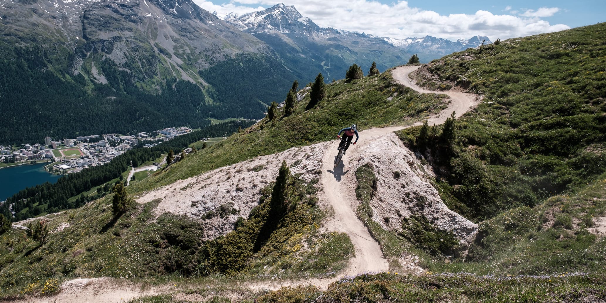
In Graubünden, all hiking trails that do not have an explicit exclusion may also be used by mountain bikers. In the Engadin, the network of trails for mountain bikers thus amounts to over 400 kilometers. On our tour portal you will find mountain bike tours recommended by us for every level of ability. Along these tours, you are sure to find different trails that are specifically attractive to mountain bikers. The Engadin trail map gives you an overview of all these trails divided into the categories of "Easy," "Medium," and "Difficult." From easy flow trails to technically challenging single trails. If you pull up a specific trail, you can see with which tour you can best connect this trail.
Legend:
🟢 Trail start
🔴 Trail end
Difficulty level:
🟦 easy
🟥 medium
⬛ difficult