Gravel
Why the Engadin is ideal for gravel biking
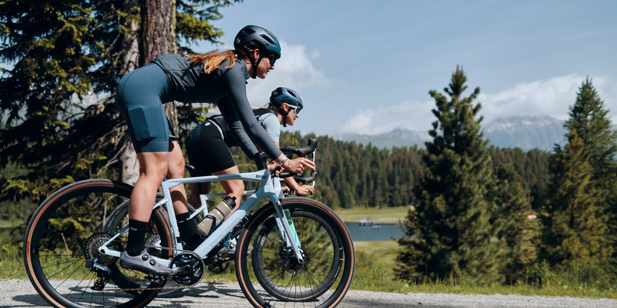
The broad valley floor offers an extensive network of gravel bike routes. Depending on snow conditions, they are usually accessible from early May, when the spring sun clears the trails, and remain rideable well into late autumn.
Between Silvaplana and Zernez, routes lead through larch forests, along the Inn River, and into quiet side valleys with little traffic. Gravel routes also offer insights into the region’s culture and cuisine: historic Engadin and patrician houses tell stories of past centuries, while mountain huts serve traditional alpine fare prepared by local herders.
And if energy runs low, the Rhaetian Railway and mountain railways and cable cars will take you and your bike comfortably to the next bike hotel.
The most beautiful gravel bike tours in the Engadin
For spontaneous riders
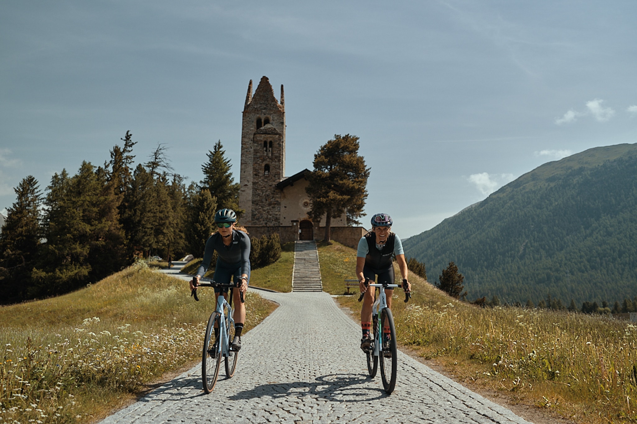
“I make the world as I like it” — just a few turns through the Staz Forest, a steep climb up to Alp Laret to taste ricotta from cheesemaker Gudrun, and a fast descent from Corviglia back into the valley on gravel roads.
Around Celerina and St. Moritz, flexible riders will find the perfect terrain for any mood or fitness level. Planning is optional. Spontaneous detours often lead to small surprises—like a hidden swimming lake suddenly appearing out of nowhere. So don’t forget your swimsuit!
*Inspired by Pippi Longstocking
For those seeking peace and quiet
The motto: silence instead of bustle. In the Engadin’s side valleys, those seeking tranquillity find secluded routes far from the crowds.
One example is Val Chaschauna: from S-chanf, you pedal along the edge of the Swiss National Park up to Alp Chaschauna. With a bit of luck, the alpine herder is there to provide refreshments for hungry cyclists.
For pleasure cyclists
The Inn Cycle Path connects breathtaking landscapes with cultural highlights and culinary stops. The first two stages run from Maloja to Zernez—bikepackers continue over several days all the way to Austria.
Along the route, you cycle through intricately decorated village centres with traditional sgraffito façades, past the revitalised river landscape of the Inn floodplains (Innauen), and along the Swiss National Park.
Tip: Those who want to see the source of the Inn at 2,645 metres can lace up their hiking boots in Maloja. The hike to the triple watershed at Pass Lunghin takes about two hours. Discover the hike
The Inn cycle path
520 kilometres from Maloja to Passau
The ideal route for anyone looking for a mixture of nature experience, sporting challenge and cultural diversity.